Real-World City Maps & Strategic Chokepoints
In Zombies Aren't Real, levels are generated from real spatial GIS geography (OpenStreetMap, Overture Foundation, TomTom). Natural barriers like rivers, bridges, and canals act as free impenetrable walls—master them to preserve your defense budget.
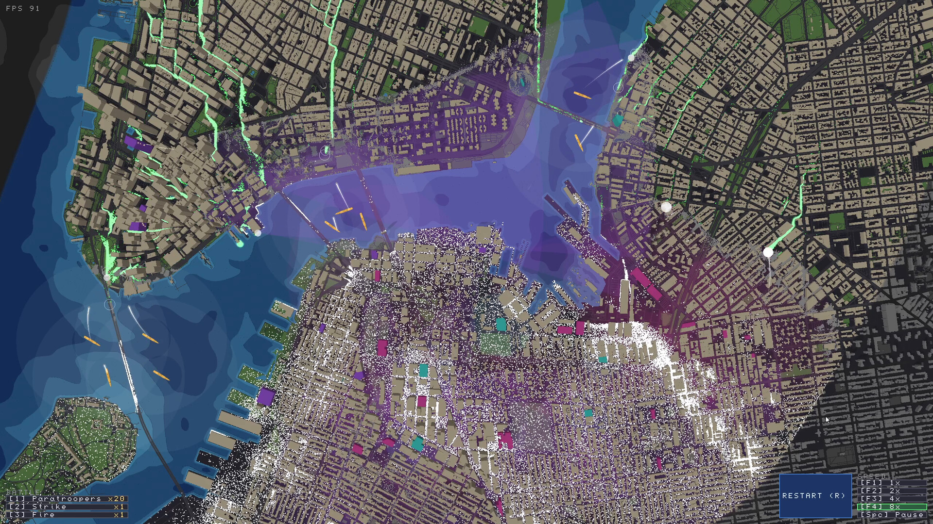
Why Bridges and Rivers Save 60% of Your Budget
Zombies cannot swim through water tiles. If you anchor your safe zone along the Hudson River, the Seine, or Venice’s Grand Canal, you instantly eliminate entire attack vectors without spending a single dollar on concrete barricades.
New York (Manhattan Grid & Bridges)
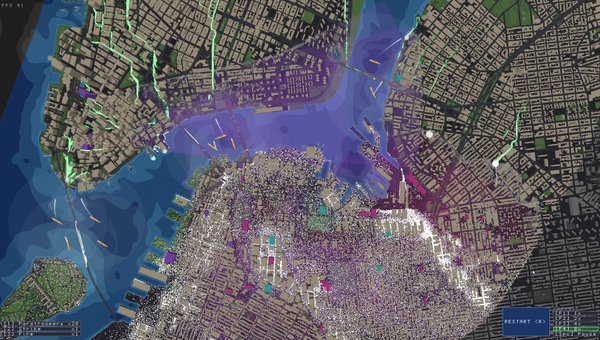
- ◈Rigid rectangular street grid with long avenues
- ◈Skyscrapers provide supreme sniper vantage points (Press V/H to verify height)
- ◈River boundaries isolate horde ingress points along bridge choke corridors
- ◈Dense civilian population requires fast multi-avenue evacuation corridor establishment
WATER BARRIERS: Hudson and East River shorelines serve as natural impenetrable walls. Push zombie flow toward river embankments to restrict flanking.
HIGH GROUND (PRESS H): Midtown high-rises along cross-street intersections. Use 'H' 3D view to find 5+ story commercial towers with unimpeded line-of-sight.
Manhattan is the quintessential urban defense laboratory. The long, straight avenues create unparalleled kill-zones for rooftop Snipers ($35) and Turrets ($90). However, the sheer density of residential blocks means that if an infection breaks out in multiple purple blocks simultaneously, the horde can sweep through cross-streets rapidly.
- ✔8-10 Snipers positioned on 4+ story rooftops along Broadway / 5th Ave
- ✔3-4 Fortified Barricades with Gates sealing off parallel crosstown streets
- ✔1 Mortar Squad positioned in Central Park / open plaza safe zone
- ✔Paratrooper strike ready to intercept sudden midtown subway breaches
Paris (Haussmann Boulevards & Seine Bridges)
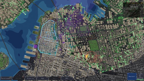
- ◈Complex radial street geometry that funnels hordes from unexpected diagonal angles
- ◈The River Seine splits the city with natural choke bridges
- ◈Uniform 5-6 story stone architecture with consistent sniper heights
- ◈Narrow historical alleys connecting to wide arterial squares
WATER BARRIERS: The Seine River is the MVP of Paris defense. Fortifying the north-south bridges turns the entire river into an impenetrable moat.
HIGH GROUND (PRESS H): Perimeter residential blocks overlooking plazas. Rooftops have wide 360-degree radial fields of fire.
Paris challenges players who rely on rigid 90-degree grid defenses. The diagonal Haussmann avenues can lead zombies around standard rectangular barricades. The premier survival strategy is to anchor your primary Safe Zone onto the islands or across the Seine bridges, using water barriers to cut the zombie approach vectors by 60%.
- ✔Heavy reliance on Spikes ($1) across all Seine bridgeheads
- ✔Dual Sentry Turrets placed directly at bridge exits facing radial roundabouts
- ✔Garrisons deployed in cornerstone Haussmann buildings to lock down diagonal intersections
- ✔Heavy Bombers or Chemical Gas ready for large courtyard swarms
Los Angeles (Sprawl, Freeways & Basin)
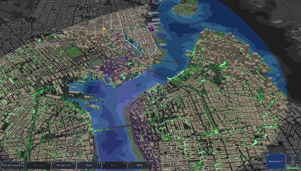
- ◈Massive geographic footprint with low civilian density per block
- ◈Elevated highway systems offer natural elevated sniper routes and mobile chokepoints
- ◈Lack of natural river barriers means 360-degree horde attack vectors
- ◈Fast zombie sprinters can cross wide boulevards quickly
WATER BARRIERS: The concrete LA River channel provides a single deep depression that can funnel horde movement if barricaded correctly.
HIGH GROUND (PRESS H): Freeway overpass interchanges and downtown high-rise commercial sectors.
LA is a logistical nightmare for uncoordinated commanders. With few natural water barriers and vast open distances, drawing an overly ambitious perimeter will lead to rapid disaster. The winning strategy is 'Compact Backward Defense': identify 2-3 high-density civilian pockets, build tight self-contained Safe Zones around them, and abandon the outer suburban tracts.
- ✔Mobile APC units to patrol long boulevard stretches
- ✔Heavy Mortar Squads upgraded to Level 2 to punish massive dispersed swarms
- ✔Generous landmine clusters along abandoned freeway on-ramps
- ✔Gatling Gunship Helicopter for mobile emergency response across long distances
Venice (Canals, Narrow Alleys & Bridges)
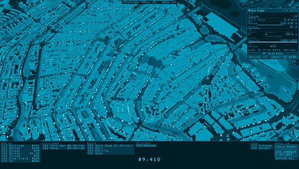
- ◈Every district is an island separated by water canals
- ◈Hundreds of stone footbridges represent the ONLY walkable paths for zombies
- ◈No vehicular transit (no APCs or heavy transport)
- ◈Extremely narrow pedestrian calli where Garrisons and Spikes shine
WATER BARRIERS: The entire city is water-bounded! Canals form 90% of your defensive walls without costing a single dollar.
HIGH GROUND (PRESS H): Campanile bell towers and Renaissance rooftops overlooking the Grand Canal.
Venice is the tactician's playground. Because zombies cannot swim through the canals, every single bridge is an absolute bottleneck. A $1 spike strip paired with a single $15 Garrison in an overlooking window can hold off thousands of infected. However, if a bridge collapses or civilians are cut off from canal docks, catastrophic panic can spread through the narrow alleys.
- ✔Garrisons holding bridgehead residential doors
- ✔Spikes placed on every single connecting footbridge
- ✔Snipers on church belltowers and canal palaces
- ✔Paratrooper drop reserved strictly for trapped civilians on isolated island spurs
San Francisco (Steep Hills, Bay & Wharf)
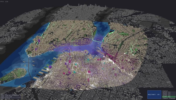
- ◈Steep hill inclines alter weapon firing trajectories and zombie climb speeds
- ◈San Francisco Bay bounds the northern and eastern quadrants
- ◈Dense Victorian residential architecture with narrow alley connections
- ◈Cable car lines create long straight downhill kill corridors
WATER BARRIERS: The Embarcadero waterfront and Bay shores provide total flank immunity.
HIGH GROUND (PRESS H): Nob Hill crests, Telegraph Hill, and commercial towers in the Financial District.
Topography is everything in San Francisco. Using the 3D elevation tool (Press H) reveals steep gradients where zombies slow down significantly when charging uphill. Placing heavy weapons at the crest of Russian Hill or Nob Hill gives you immense downward firing momentum, while bay waters protect your rear flanks.
- ✔Downhill-facing Turrets at the peak of major avenue slopes
- ✔Rooftop Snipers utilizing supreme natural elevation advantage
- ✔Reinforced Gates sealing off waterfront pier entries
- ✔Mortar Squads positioned on level ridge plateaus
Steam Workshop & Custom GIS Maps
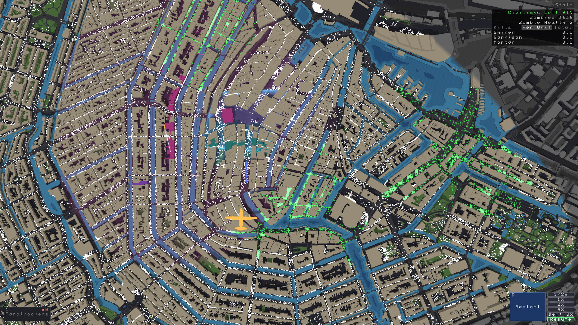
- ◈Import real-world hometown or global capitals (London, Berlin, Tokyo, Sydney)
- ◈Built-in level editor to adjust civilian density, infection origin, and budget
- ◈Customizable zombie health scaling and horde density modifiers
- ◈Share and play community defense scenarios with full Co-op multiplayer support
WATER BARRIERS: Consult custom map topology before spending defense budget.
HIGH GROUND (PRESS H): Varies by custom city; use 'H' 3D height toggle immediately during planning phase.
Thanks to the built-in level editor and Overture Maps / OpenStreetMap integration, players can simulate the zombie apocalypse in virtually any geographic location on Earth. When evaluating a custom map, first identify the natural geographical barriers (rivers, ravines, railway tracks, highway medians), check building heights, and plan your safe zone around the highest building clusters.
Adaptive loadout based on GIS terrain analysis—water maps demand bridge defense, while sprawl maps require mobile air support.
WANT TO DEFEND YOUR HOMETOWN?
Zombies Aren't Real features a full built-in level editor and Steam Workshop integration. Import your local town streets, configure custom zombie densities, and share custom maps with friends in 2-player online co-op.
EXPLORE STEAM WORKSHOP MAPS