Building Elevation & Sightlines: Using Keys 'H' and 'V' to Win
How 3D elevation transforms top-down 2D strategy. Understand how building height ratings, sightline occlusions, and vertical mortar arcs work in real-world GIS cityscapes.
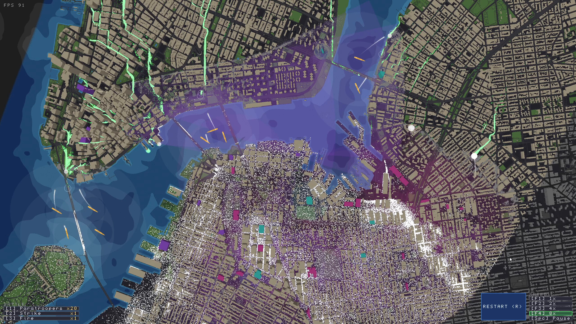
- ✔Press 'H' or 'V' to toggle 3D building height inspection mode.
- ✔Taller buildings grant wider fields of fire, immunity to ground-level melee swipe, and extended weapon range.
- ✔Short 1-story structures get blocked by adjacent high-rises; placing a sniper behind a skyscraper results in zero shots fired.
- ✔Mortars can arc shells over tall skyscrapers, but require open sky directly above their deployment plaza.
◈ STEP-BY-STEP EXECUTION PROTOCOL
Step 1: Toggle the 3D Height Overlay
As soon as the scenario loads, press 'H' or 'V'. The city map extrudes into color-coded 3D building heights (1-story bungalows in light blue, 3-5 story apartments in yellow, 10+ story high-rises in deep purple/white).
Step 2: Identifying Rooftop Firing Platforms
Select rooftops that sit on street corners with clear diagonal views down at least two intersecting avenues. Placing snipers here doubles their effective engagement time.
Step 3: Avoiding Occlusion Traps
Check if a 15-story skyscraper sits between your sniper nest and the bridge chokepoint. In Zombies Aren't Real, bullets follow real ballistic trajectories and will hit the intermediate facade instead of zombies.
Step 4: Uphill / Downhill Ground Slope Tactics
In hilly cities like San Francisco, zombies running uphill experience a 35% speed penalty. Station defenses at the top of steep avenue crests to double the time your units have to fire.
READY TO TEST THIS FORMATION?
Load your budget into the defense calculator to verify economic viability.